The United Nations and the World Meteorological Organization have issued a warning. India is in the danger zone for the next six months due to the "Godzilla El Niño." Temperatures in the Pacific Ocean are rising rapidly. This could result in a significantly reduced winter this year. It's possible we won't experience extreme cold. This weather cycle, which will last until February 2027, will damage crops.
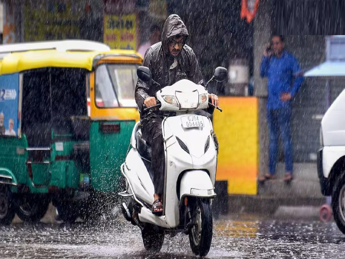
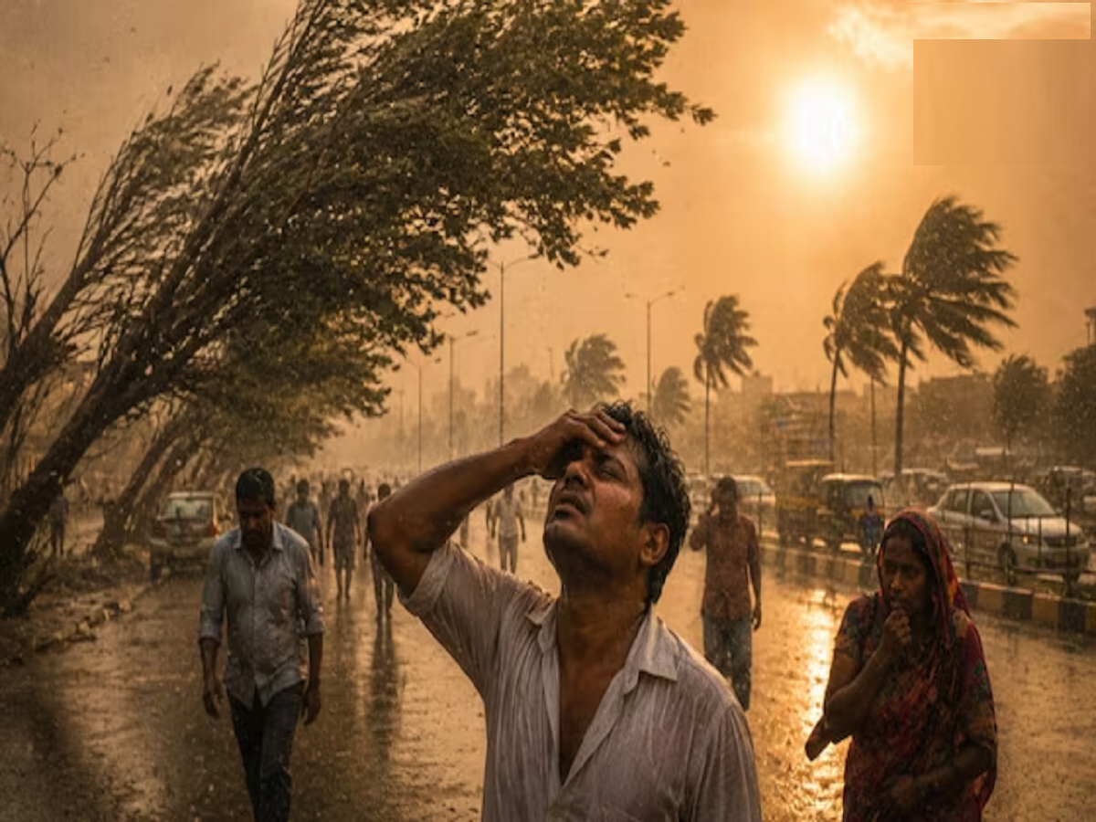
This year, every month has seen the weather's fury. From devastating heatwaves to torrential rains and flash floods, ordinary people have endured all of this in just a few months. This was just the beginning, as the last six months of the year are set to be even more terrifying. The situation is such that it seems winter won't arrive at all, as El Niño's "Godzilla" avatar will fully manifest by February. Due to this, India has also now reached the danger zone.
What is El Niño going to do by the end of the year?
The rapid changes in weather patterns around the world have scientists on edge. The United Nations and the World Meteorological Organization have issued a dire warning, stating that our planet has now entered an "extreme weather danger zone."
The "Godzilla El Niño" rising in the Pacific Ocean will reach its most severe form by the end of this year, disrupting the entire weather cycle. The greatest concern is being expressed for India, where a severe alert has been issued for the next six months. Experts believe that this severe El Niño will either neutralize this winter season or prevent it from experiencing severe cold.
Will there really be no severe cold this time?
Winter is just around the corner, but this year's cold weather won't be like the one we've seen in years. According to meteorologists, the possibility of severe cold in northern and central India is slim due to the active "Godzilla El Niño."
The bone-chilling cold and cold waves that typically occur during December and January could be completely suppressed by the intense heat of El Niño. Due to El Niño, both day and night temperatures across the Indian subcontinent will remain well above normal. This means that the bone-chilling cold will be much less severe this time.
Why is 'Godzilla' El Niño rapidly strengthening?
El Niño begins when the surface waters of the central and eastern Pacific Ocean become warmer than normal. But this time, the seafloor is alarming scientists. The water temperature is rising at an unusual and frightening rate.
According to the Niño 3.4 Index, which measures the weather, sea temperatures reached 2 degrees Celsius above normal in July. Subsequent weekly readings showed this temperature increase from 2.2 degrees to 2.6 degrees Celsius.
Even more alarming is that the heat isn't just concentrated on the ocean's surface. During July and August, water temperatures deep within the Pacific Ocean were recorded more than 8 degrees Celsius warmer than normal. This intense heat hidden beneath the ocean is acting as rocket fuel for El Niño, making it a "Godzilla" phenomenon.
This crisis will last until 2027: a major warning from the WMO
The World Meteorological Organization's latest report has the world on edge. It states that there's a nearly 100% chance that this devastating El Niño event will persist until February 2027.
Scientists believe this dangerous weather pattern will reach its peak by the end of 2026. UN Secretary-General Antonio Guterres has stated unequivocally that as the oceans boil, our planet is becoming trapped in a vicious web of extreme weather. Over the next six to eight months, all previous heat records could be broken in most parts of the world.
Why are alarm bells ringing for India?
For an agricultural country like India, the strength of El Niño is nothing short of a disaster. History shows that whenever El Niño has been severe, India's monsoon has either been completely dry or extremely erratic.
The India Meteorological Department (IMD) has issued an alert that El Niño could become more severe between October and December. Its effects are already being felt across the country:
- Crops are drying up: In the month of August, there was a huge decline in rainfall in many states of the country, due to which crops have suffered huge losses.
- No relief even in September: The Meteorological Department estimates that rainfall will be much less than normal even in September.
- Severe water crisis: Due to a weak monsoon, water levels in major dams and reservoirs across the country are falling. This could lead to a severe water crisis for drinking and agricultural irrigation in the coming days.
Somewhere drought and somewhere severe flood
When this "Godzilla" El Niño storm hits, it completely disrupts the global wind and rainfall systems, disrupting the global weather balance.
- Forest fires and droughts: From the Amazon rainforest to many countries in Asia and Africa, severe droughts will occur for extended periods. Water will become scarce, and the incidence of massive forest fires will increase rapidly.
- Sudden floods and devastation: On the other hand, in some countries, such a disaster will rain from the sky that torrential rains will cause sudden floods and entire cities will be submerged.
- Deadly heatwave: Even during winter, the temperature in the ground areas will remain so high that people will have to face unseasonal heat and heatwave.
How did global warming add fuel to the fire?
While El Niño is a natural weather phenomenon, human-induced global warming has made it even more toxic. Pollution and carbon emissions are already warming our air and oceans.
In such a situation, when a natural disaster like El Niño occurs, global warming adds fuel to the fire. The previous El Niño event in 2023-24 shattered all heat records worldwide, making 2024 the hottest year in recorded history. Now, there are fears that this new El Niño event, expected by the end of 2026, will surpass that record.