INTERNATIONAL
Shifting Waters: How the Changing Course of 3 Rivers Fueled the India-Nepal Border Dispute
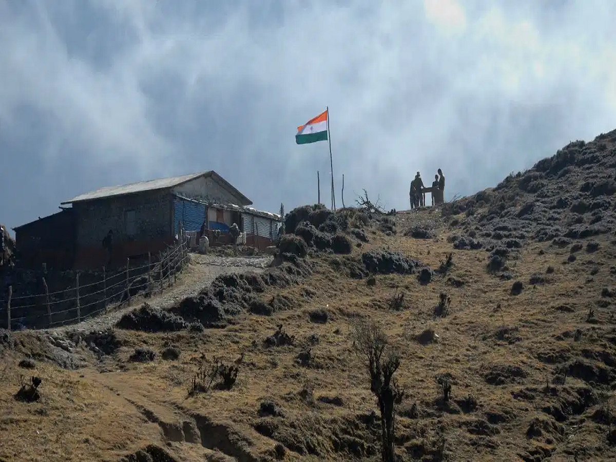
The geopolitical borders between India and Nepal are once again under the spotlight. Following intense parliamentary debates in Nepal surrounding Prime Minister Balen Shah's recent statements, Ravi Lamichhane—president of Nepal's ruling party, RSS—arrived in New Delhi to engage in diplomatic talks.
According to Randhir Jaiswal, spokesperson for India's Ministry of External Affairs, 98% of the border between the two nations has already been mutually resolved. However, the remaining friction lies in a fascinating geographical phenomenon: rivers that have completely altered their paths over the last two centuries.
The Root of the Dispute: The 1816 Sugauli Treaty
To understand the current tension, one must look back to March 4, 1816, when the Treaty of Sugauli was signed between the Kingdom of Nepal and the British East India Company.
-
The Blueprint: The British used natural river systems to demarcate the 1,751-kilometer border between the two regions.
-
The Land: Nepal’s King Bikram Shah ceded various territories to the British, establishing a completely open border and fixing Nepal’s total area at roughly 147,000 square kilometers.
-
The Problem: Nature isn't static. Over 210 years, the rivers used as official boundary lines shifted, creating administrative gray areas.
The 3 Rivers Rewriting the Indo-Nepal Border
The changing paths of three specific rivers have led to modern-day sovereignty claims and territorial confusion:
1. The Gandak River (Narayani in Nepal)
Flowing from Tibet through Nepal and into India, this 700 km river acts as a natural border for Uttar Pradesh and Bihar. However, in the Susta region, the river’s course has significantly shifted over time. As the water moved, the official border moved with it in the eyes of some, turning previously settled areas into disputed zones.
2. The Jamuni River
This river establishes the boundary line between Nepal and Bihar’s Madhubani district. Decades of geographical shifts have altered its catchment areas, leading to mutual allegations of cross-border encroachment from both sides.
3. The Sirsiya River
Running between India’s Raxaul and Nepal’s Birgunj, this river flowed perfectly straight when the Sugauli Treaty was drafted in 1816. Today, its winding, altered path has created pockets of land that have been alternatively occupied by both Indian and Nepalese farmers.
The Mahakali River & The Kalapani Conundrum
Beyond shifting currents, a major clash exists over the source of the Mahakali River. The Sugauli Treaty clearly states that land east of the Mahakali belongs to Nepal, and land west belongs to India—but it completely omitted where the river actually begins.
Nepal’s Stance: Claims the river originates further west near Limpiyadhura, which would make the 332-square-kilometer Kalapani and Lipulekh region a part of Nepal.
India’s Stance: Maintains that the river originates from a traditional waterfall closer to Kalapani, keeping the region under Indian administration.
The Way Forward: Strictly Bilateral
In addition to river movements, unauthorized cross-border farming on "No Man's Land" continues to complicate the issue. Despite the recurring political rhetoric, India's Ministry of External Affairs remains firm on its resolution strategy:
New Delhi has reiterated that highly effective, established bilateral mechanisms are already in place to resolve these geographical shifts. Furthermore, India has made it explicitly clear to the international community that no third party has any role to play in the sovereign, bilateral matters between India and Nepal.